| |
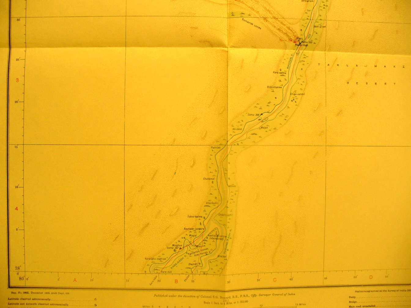
The southern half of map sheet # 25 - Mazar Tagh - This shows the
Kara-Kash River flowing north from the southern border to become the Khotan
River that flows off the northern edge toward map # 24. Mazar Tagh is a ruined
Tibetan fortress on a bluff on the left (west) side ofthe river at 80 degrees
40 'E - 38 degrees 27' N. Stein visited and spent a lot of time excavating this
ruin. The river valley is narrow with limited cultivation along the southern
part but only intermitant growth along most of the banks.
|
|