
|
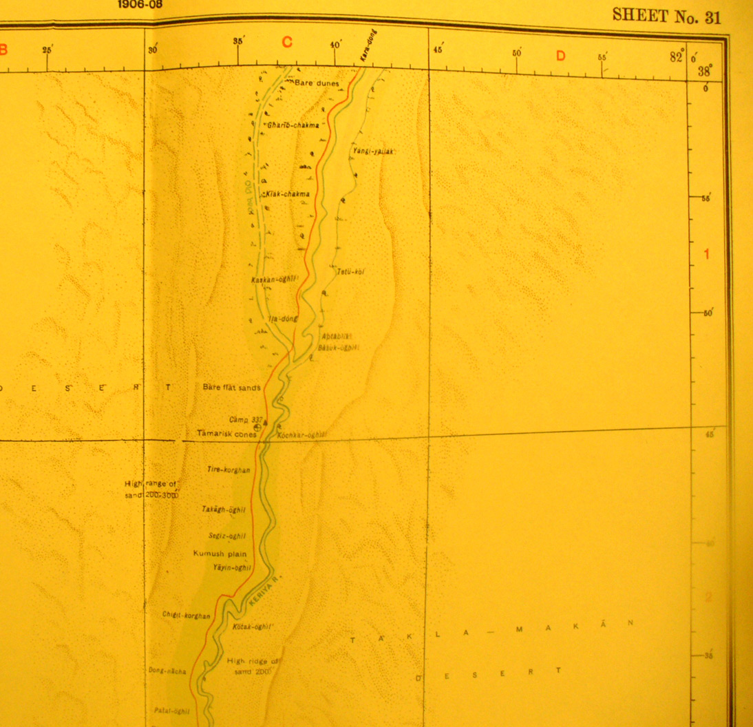
SERINDIA MAPS - STEIN |
||
These are photos made from the original maps in Volume V of Serindia, Aurel Stein's report on his Second Expedition into Chinese Turkestan. |
||
 |
||
This is the far north east corner of map sheet # 31 - Domoko - showing the Keriya River bed (it flows north when it flows at all) and Stein's route south from Kara Dong. |