
|
SERINDIA MAPS - STEIN |
||
These are photos made from the original maps in Volume V of Serindia, Aurel Stein's report on his Second Expedition into Chinese Turkestan. |
||
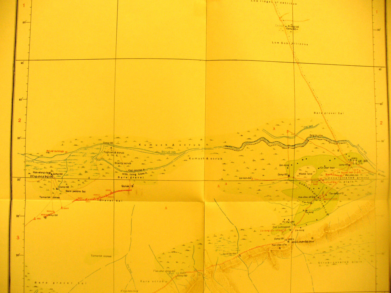 |
||
The middle section of map sheet # 81 - An-hsi - This shows the Su-lo Ho reaching its delta in the desert and swamp with a section of the Han wall toward the western end and another just south of An-hsi. This also shows Stein's direct route from Tun-huang along the southern side |