
|
 |
||
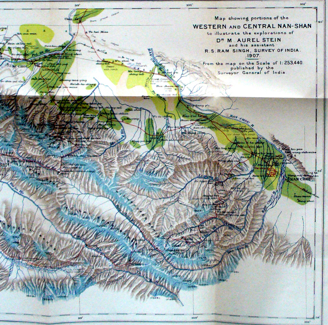
North-east quarter of Stein's map showing Western and Central Nan-shan mountains from his exploration in 1907 - This shows Kan-chou and Su-chou towns and the road between them with many watch-towers and forts. It shows the Richthofen , To lai Shan and Alexander III mountain ranges - It shows the Kan-chou river flowing east, then north, and the Pei-ta Ho flowing north-west and north - It shows the very steep elevation increase between the valley and mountains. |
||