
|
 |
||
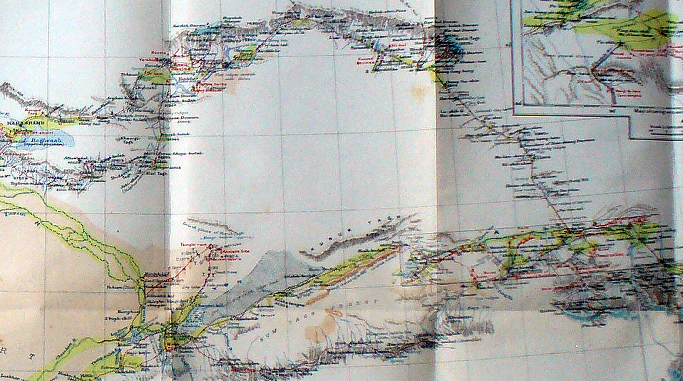
A section of Stein's map showing the eastern half of the Takla Makan and further east. This shows along the southern edge the route from Charklik past Miran to Tun-huang and the route from Anhsi northwest (the modern highway) to Hami and then west to Karashahr. During the Third Expedition Stein and the Indian surveyors filled in much of the blank section between Lou-lan and Kara-shahr. |
||