
|
 |
||
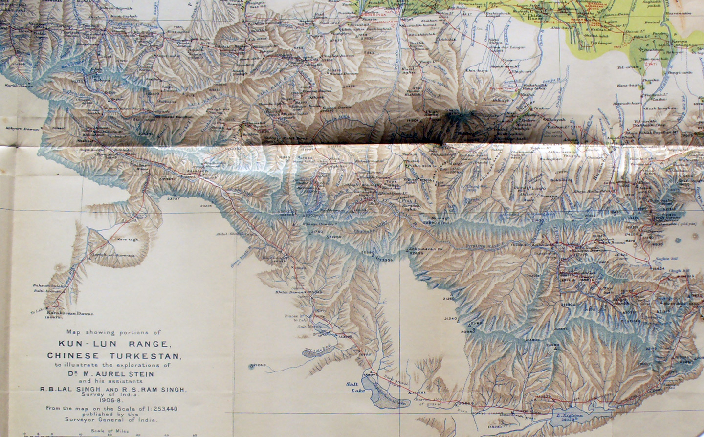
The south-west section of Stein's map of the Kun-lun with routes during his second expedition in 1906-08. The details are shown better on the several more detailed photographs. On the upper right edge we see his route through the foothills from Khotan to Keriya as well as the direct between them along the desert. Then his route south from Keriya goes off the right edge and the back onto the map 1/3 distance down the edge. The route then is as shown on a detailed photo as he found the sources of the Yurung-kash and Keriya Rivers, then traveled around ranges via Lake Lightan and north west to the high glacier on which he lost several toes before finally intersecting the caravan route south to the Kharakorum Pass. |
||