
| |
INKERMAN BATTLE |
||
 |
||
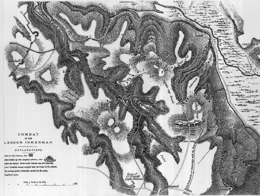
Map depicting the terrain - it shows the road from the plateau down to the river - the same road we drove down while taking photos. Shell hill is shown as a white spot with lines radiating from it. The closeness of the Russian defense line is seen by the Malakov bastion hill at the left side. |
||