| |
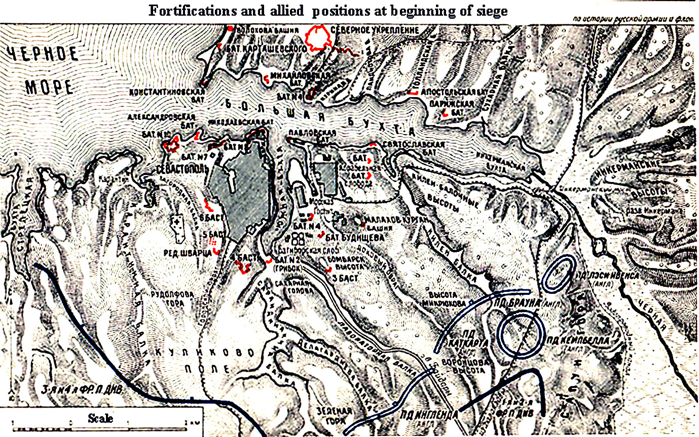
Map from Beskrovni atlas showing the city at
beginning of the siege. The Russians held the Star fort on the north side of
the harbor, but the Allies didn't attack there. Note that Inkerman height is
actually acrdoss the Chernaya River from the city and siege lines, but the
Russian attack out of the city against the British positions on the ridges
south of the river is called Battle of Inkerman, nevertheless. The terrain in
the city is divided by the very long fingers of water and then the north-south
ridges with deep ravines between them. The French were on the left and British
on the right.
|
|